Properties

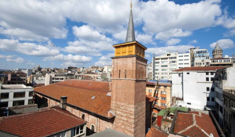
This conversion project represents two historical buildings inheriting multicultural merits of Genovese, Byzantian and Ottoman legacy, currently holding 1700 sqm. of floor plate on two parcels with an existing mass of >6000 sqm. of closed area. The latest conversion was meant to promote the identity of the historically multi-ethnic Ottoman Empire, but by the end of World War I and the creation of the Turkish Republic, it was adopted by the republican Turkish nationalists to promote commercial purposes.
Karaköy, the modern name for ancient Galata, is a commercial neighborhood in the Beyoğlu district of Istanbul, Turkey, located at the northern part of the Golden Horn mouth on the European side of Bosphorus.
Karaköy is one of the oldest and most historic districts of the city, and is today an important commercial center and transport hub. The location is connected with the surrounding neighborhoods through streets originating from Karaköy Square. The Galata Bridge links Karaköy to Eminönü in the southwest, Tersane Street to Azapkapı in the west, Voyvoda Street to Şişhane in the northwest, the steeply sloping Yüksek Kaldırım Street to Beyoğlu in the north, Kemeraltı Street and Necatibey Street to Tophane in the northeast.
During the Ottoman era, Karaköy was a popular residential area for Jews, Armenians and Greeks, the evidence of which is still visible today in French, German, Greek, Austrian and Italian schools, churches and synagogues.
The commercial quarter, which was originally the meeting place for banks and insurance companies in the 19th century, is today also prospect to massive urban conversion zone ignited by Galataport project.
